OpenCV
Open Computer Vision Library
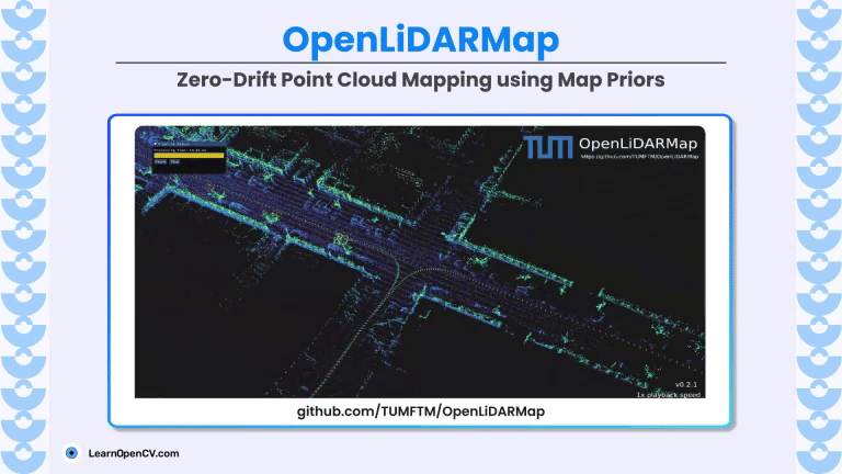
OpenLiDARMap presents a GNSS-free mapping framework that combines sparse public map priors with LiDAR data through scan-to-map and scan-to-scan alignment. This approach achieves georeferenced and drift-free point cloud maps. Key
Stay up to date on OpenCV and Computer Vision news